Long Trail Hikers Use Bad Weather Alternate Route
Hikers on Vermont's Long Trail abandoned the main route due to a storm, using a safer descent suggested by Sugarbush resort staff after a night in a ski
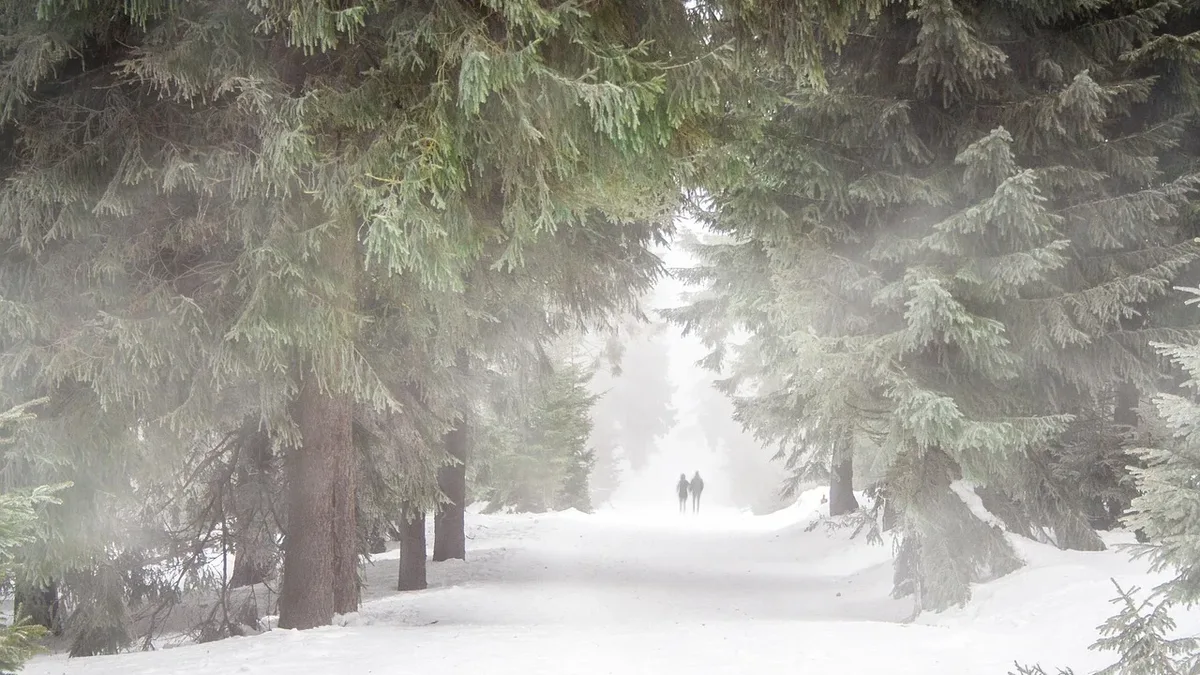
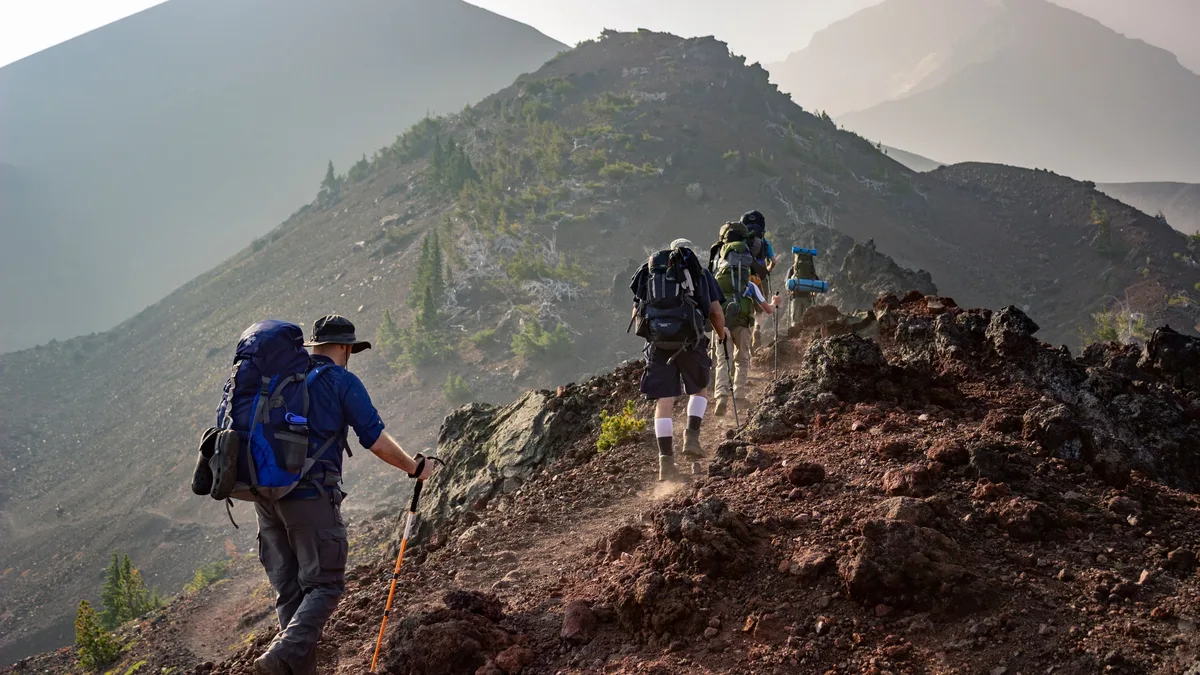
Two hikers, known as The Historian and the author, were forced to take their first bad-weather alternate on Vermont's Long Trail. They descended from the Castlerock Ski Patrol Hut to Appalachian Gap via a safer route, avoiding treacherous cliffs and ladders made dangerous by rain.
The Long Trail presents unique challenges distinct from other major hiking routes like the Appalachian Trail. The author, an AT completer, and The Historian, who has hiked over half of the AT, compare the 273-mile Long Trail most closely to hill walking in Scotland, but note its more subtle reputation for danger.
Trail Hazards and Terrain
The trail is notoriously covered in a gnarly mat of roots, which can rise over three feet from the ground. These roots create constant tripping hazards where a foot can be trapped while the body's momentum continues forward.
Mud, once deep enough to sink a person thigh-deep, has been hardened over time with bog bridges and rock placements. Despite these improvements, slipping on a wet bridge or falling during a rock hop remains a real risk.
Rock and Ladder Challenges
Rocks on the trail fall into two core categories. Parallel rocks lie on the trail surface, posing risks of foot entrapment or sideways slides. Horizontal rocks form the uphill trail, ranging from car-sized boulders to smooth slabs with pitches from 10% to over 15%. Steeper slabs require hand-over-hand climbing using a three-point contact method for safety.
The trail also incorporates ladders, some made of wood or embedded rebar, to aid steep ascents and descents. Climbers must overcome psychological barriers, especially when wearing a pack, and decide whether to face forward or backward on steps that can be 24 inches high. Wet conditions drastically increase the danger on all this terrain, making boulders, slabs, and ladders life-threatening.
A Storm Forces a Decision
The hikers took shelter in the Castlerock Ski Patrol Hut as a storm arrived. With only one bar of bandwidth, they received a forecast suggesting rain would stop by 10 a.m. However, a 5.5-mile section lay ahead featuring cliffs, ladders, and an exposed ridge. Several experienced Long Trail hikers had warned them not to attempt this section in the rain.
They decided to wait. By 8 a.m., fog swirled and rain continued. The unspoken potential danger of the main trail was loud. One hiker, Rock Rabbit, channeled nervous energy into advanced yoga poses. The Historian inquired about an escape route down ski slopes beneath the rocky crest.
The author made a weak phone call to the Sugarbush corporation. An employee named Emily went to great lengths to help plot a safe way down.
The Alternate Descent
At about 11 a.m., they stepped out. The rain had stopped, but the ground was soaked. Following the route suggested by a map and confirmed by Sugarbush staff, they began their descent. The first 0.3 miles dropped 469 vertical feet on tenuous, wet ground.
After a mile and a half, they saw a runner coming uphill in the fog. The pitch lessened, increasing their confidence. They finally broke out of the clouds onto a maintenance road that led over a river and into the valley.
Relieved, they stumbled upon Rumbles restaurant. The staff graciously accepted their wet bodies and watched their packs while they ate. The meal included salad, sandwiches, and dessert, with The Historian's creme brulee noted for looking like a "crab brule." They were disappointed to need the weather alternative but happy to replace churning anxiety with warm, flavorful food.