Hikers Transition from Arid West to Vermont's Green
A hiker's journal details a five-day segment on the Appalachian and Long Trails, moving from Massachusetts into Vermont, encountering changing terrain and
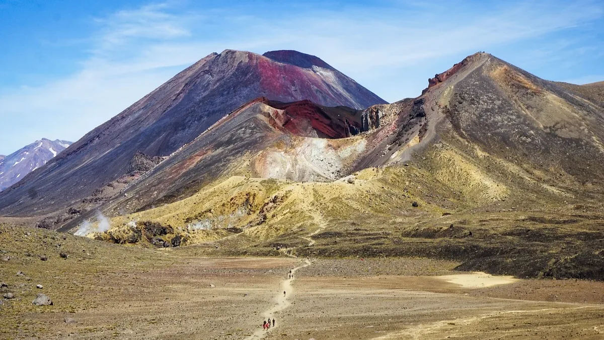
A hiker has traded the dust of western trails for the temperate forests of the northeast, completing a five-day segment from Dalton, Massachusetts, into Vermont on the Appalachian Trail (AT) with plans to connect to the Long Trail (LT).
The journey resumed after a two-week break with a 13.8-mile day from Dalton, Massachusetts, to Noepel Shelter. The hiker noted a stark change from carrying ample water in the arid desert to needing very little, and from dirt-covered feet to clean, if sweaty, ones. The day involved a resupply at a Walmart and coffee in Dalton, ending early enough to add extra miles. Five southbound AT hikers and two section hikers were met at the campsite.
Reaching Massachusetts' High Point
The second day covered 14.1 miles to a creek just inside Vermont. An early start led to a cloudless ascent of Mount Greylock, Massachusetts' highest point, by 9 a.m. The trail saw day hikers, environmental science students, and two more southbound AT hikers. After a supply stop near North Adams, a challenging rock garden preceded the Vermont border, where the hiker met another trekker named Swamp Witch. Camp was made at a creek site in Vermont with rain forecasted for later in the week.
A Cruisy Day with Trail Community
Day three was a 15.5-mile "fun" and "cruisy" hike from the Vermont creek to Melville Nauheim Shelter. Starting at 6 a.m., the hiker passed Swamp Witch's tent and met two southbound LT hikers nearing their finish, along with other section hikers. A long lunch at Congdon Shelter led to a chance meeting with Mary and Valerie; Mary's husband, Jeff, later shuttled the group to a grocery for dinner supplies. The final climb to the shelter with the added food weight was steep. The shelter community grew to include Swamp Witch and several others, with the sound of nearby truck engines mixing with crickets at night.
Racing the Rain to Shelter
A 12.8-mile hike from Melville Nauheim to Kid Gore Shelter defined the fourth day. Waking to a red sky, the hiker's modest goal was to beat forecasted rain. Several southbound hikers were met ending their days early. After lunch at the clean, efficiently designed Goddard Shelter, the group debated staying to avoid a 20-mile day tomorrow but pressed on. They reached Kid Gore Shelter an hour before the rain finally started, reuniting with Mary and Valerie. The shelter filled with wet hikers sharing stories throughout the afternoon, with six people occupying the eight bunks.
Summit Views and a Crowded Pond
The final 15-mile day proceeded from Kid Gore to Stratton Pond Shelter under improved blue skies. The trail was softer and more slippery from rain-loosened leaves. The day's major climb was Stratton Mountain, featuring a fire tower that offered amazing, if windy, views. Before the climb, Jeff from the previous day's shuttle surprised the group with Pepsis at a road crossing. The hiker met maintainers who shared local history about twin mountain peaks. Arriving first at Stratton Pond, the hiker set up a tent as a dozen others arrived, making it the largest LT crowd encountered, with only one person using the shelter itself. The evening featured a group dinner and a walk to the pond to watch the sunset and listen to loons.
| Day | Route | Miles Hiked |
|---|---|---|
| 66 | Dalton, MA to Noepel Shelter | 13.8 |
| 67 | Noepel Shelter to Creek Just Inside VT | 14.1 |
| 68 | Creek Just Inside VT to Melville Nauheim Shelter | 15.5 |
| 69 | Melville Nauheim Shelter to Kid Gore Shelter | 12.8 |
| 70 | Kid Gore Shelter to Stratton Pond Shelter | 15.0 |