Lake Ozette Triangle: A 9-Mile Coastal Thru-Hike
A hiker describes a three-day, 9-mile coastal loop trek in Washington's Olympic National Park, covering the route, permits, and trail conditions.
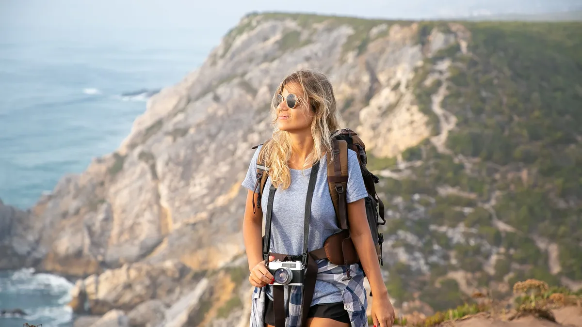
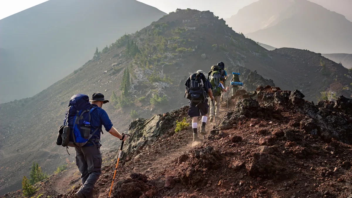
A recent trip report on The Trek details a three-day thru-hike of the Lake Ozette Triangle, a 9-mile coastal loop in Washington's Olympic National Park. The author hiked the route counterclockwise with two friends, starting from the Ozette Ranger Station.
The Route and Permits
The Lake Ozette Triangle, also known as the Cape Alava Loop, is a short backpacking route on the northwest Washington coast. The loop is located within Olympic National Park and requires an overnight permit due to limited campsite availability. Their friend handled securing the necessary permits for the popular area.
The trail forms a triangle with three distinct legs, each approximately three miles long. The group's itinerary took them from the Ozette Ranger Station northwest to Cape Alava on the first day. Day two involved a southbound beach walk along the coast between Cape Alava and Sand Point. The final leg returned inland from Sand Point back to the starting point at the ranger station.
Trail Conditions and Logistics
The drive from Seattle to the trailhead at the Ozette Ranger Station took roughly four hours, including a stop in Port Angeles. The author found the ranger station itself largely unattended, with advice suggesting questions should be directed to staff in Port Angeles instead. A key concern was water availability, with the group receiving conflicting information from a pre-trip report and other hikers.
One hiker carried a BeFree filter intending to use creek water, while her companions opted to carry all their water from the start due to warnings about potentially sketchy, brown-tinted water sources. The initial trail section from the ranger station to Cape Alava alternated between dirt, gravel, and extensive boardwalk through a dense coastal forest.
"It must have taken a ton of hours to construct that much boardwalk!" the hiker wrote, noting some boards appeared worn. The terrain was described as easy, with minimal elevation change over the three-mile stretch. Weather during their hike was mostly sunny, though the author speculated the wooden boardwalks could become slippery when wet.
Coastal Camp and Exploration
The group knew they were nearing the coast at Cape Alava when they heard sea lions barking from a nearby island. They crossed a single-log footbridge over a creek, which served as a water source, before entering the beachside camping area. Campsites are nestled in the trees just inland from the beach and are available on a first-come, first-served basis, with no specific site assignments.
Arriving at low tide allowed for extensive beach exploration north toward Cape Alava and Tskawahyah Island. The author noted that while the island is accessible at low tide, it is part of the Makah Indian Reservation and off-limits to campers. The group encountered a recently deceased whale, whose smell kept them at a distance, and found driftwood swings constructed by previous visitors.
As evening approached, a marine layer moved in, enveloping the offshore islands where the sea lions continued their loud calls. The trip served as a short, accessible backpacking adventure focused on the unique coastal environment of the Pacific Northwest.