Oregon's Volcanic Landscape: A Hiker's Journey Through Sections E-G of the PCT
A hiker's account of their journey through sections E-G of the Pacific Crest Trail in Oregon, highlighting the state's unique volcanic landscape and the challenges of hiking through wildfire-scarred terrain.
The Pacific Crest Trail (PCT) stretches over 2,659 miles from California to Washington, passing through diverse landscapes and climates. In Oregon, sections E-G offer a unique glimpse into the state's volcanic heritage.
**Volcanic Peaks and Lava Fields**
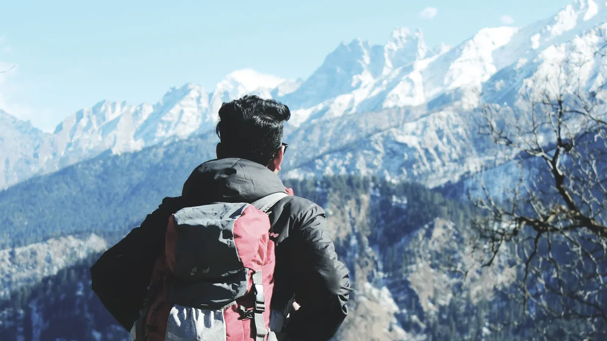
The trail passes through massive lava fields and around the bases of Oregon's most recognizable peaks, including the Three Sisters, Mount Washington, Three Fingered Jack, Mount Jefferson, and eventually Mount Hood. The terrain is varied, with forests, meadows, lakes, and volcanic rock creating a dramatic landscape.
**Wildfire Scars and Burned Forests**
Burn scars appear regularly along the trail, some filled with wildflowers and new growth, while others contain miles of dead trees standing above an exposed landscape. The contrast between healthy forests and burned landscapes is striking, highlighting the impact of wildfires on the environment.
**The Three Sisters Wilderness**
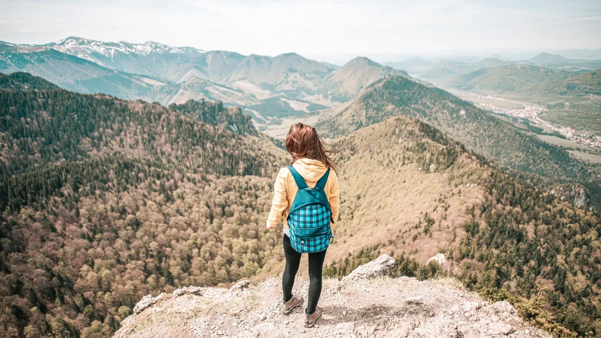
The Three Sisters Wilderness is a highlight of Oregon's PCT, offering breathtaking views of the surrounding landscape. The trail passes through forests, meadows, and volcanic rock, with the Three Sisters peaks constantly changing position and perspective.
**Mount Jefferson and the Northern Cascades**
North of the Three Sisters, the volcanic parade continues, with Mount Washington and Three Fingered Jack providing increasingly rugged scenery before Mount Jefferson becomes the dominant landmark. The surrounding terrain feels wilder, with alpine meadows, lakes, volcanic ridges, and burned forests alternating throughout the section.
**PCT Days at Cascade Locks**
After months of hiking alone, PCT Days at Cascade Locks is a welcome respite. The annual two-day festival brings together thru-hikers, former hikers, gear companies, outdoor organizations, trail volunteers, and people who simply love the PCT. The event offers a chance to try new gear, meet other hikers, and experience the social side of the trail.
**The Final Miles of Oregon**
The final push toward the Columbia River offers a different ending to the PCT in Oregon. The terrain drops toward the gorge, and the environment becomes noticeably greener as elevation decreases. The Columbia River provides a dramatic conclusion to the state's unique volcanic landscape.
**Section Snapshot**
| Miles | Start / End | Conditions | Terrain | Style | Pace | RV Parks | | --- | --- | --- | --- | --- | --- | --- | | 1909.4 → 2150.2 | Highway 58 → Columbia River Gorge | Warm summer weather, wildfire smoke, mostly dry trail | Volcanic peaks, lava fields, burned forests, alpine lakes, and the Columbia River Gorge | Primarily slackpacking and trail running | Consistent 20-30 mile days | Santiam Sno-Park; Frog Lake Sno-Park; KOA Cascade Locks |